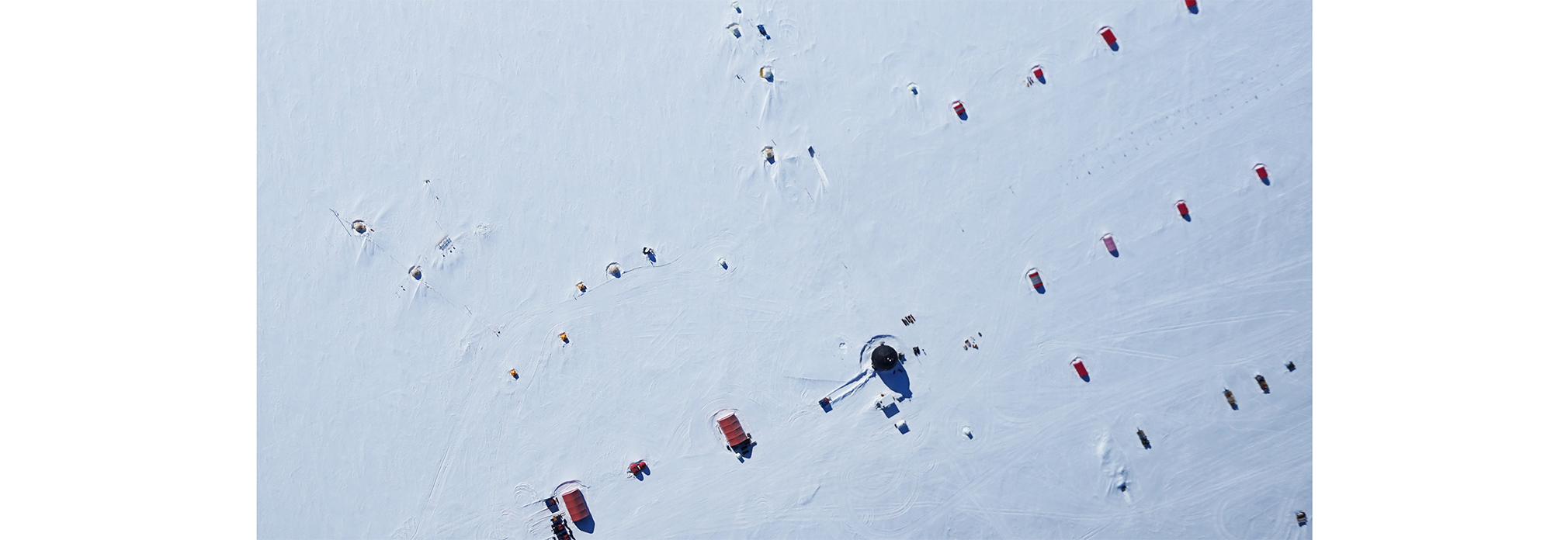
Image of the EGRIP camp from the drone.
August 1, 2017
Image of the EGRIP camp from the drone.
One of the benefits of drone programs is the nice overview pictures of camp. The image shows most of the layout of the camp including the Dome, red sleeping weatherports, the bigger red garages, the yellow tent camp consisting of both sleeping tents and surface science equipment. The drill and science trenches are subsurface and can only be identified by the slightly elevated surface and the yellow/white entrance tents. Thanks to Marie and Aslak for the image.
What we did today:
Weather: Sunny with winds from 2 to 6 m/s from SW and temperatures from -18°C to -9°C.
FL, Dorthe Dahl-Jensen