May 9, 2024
Processing data

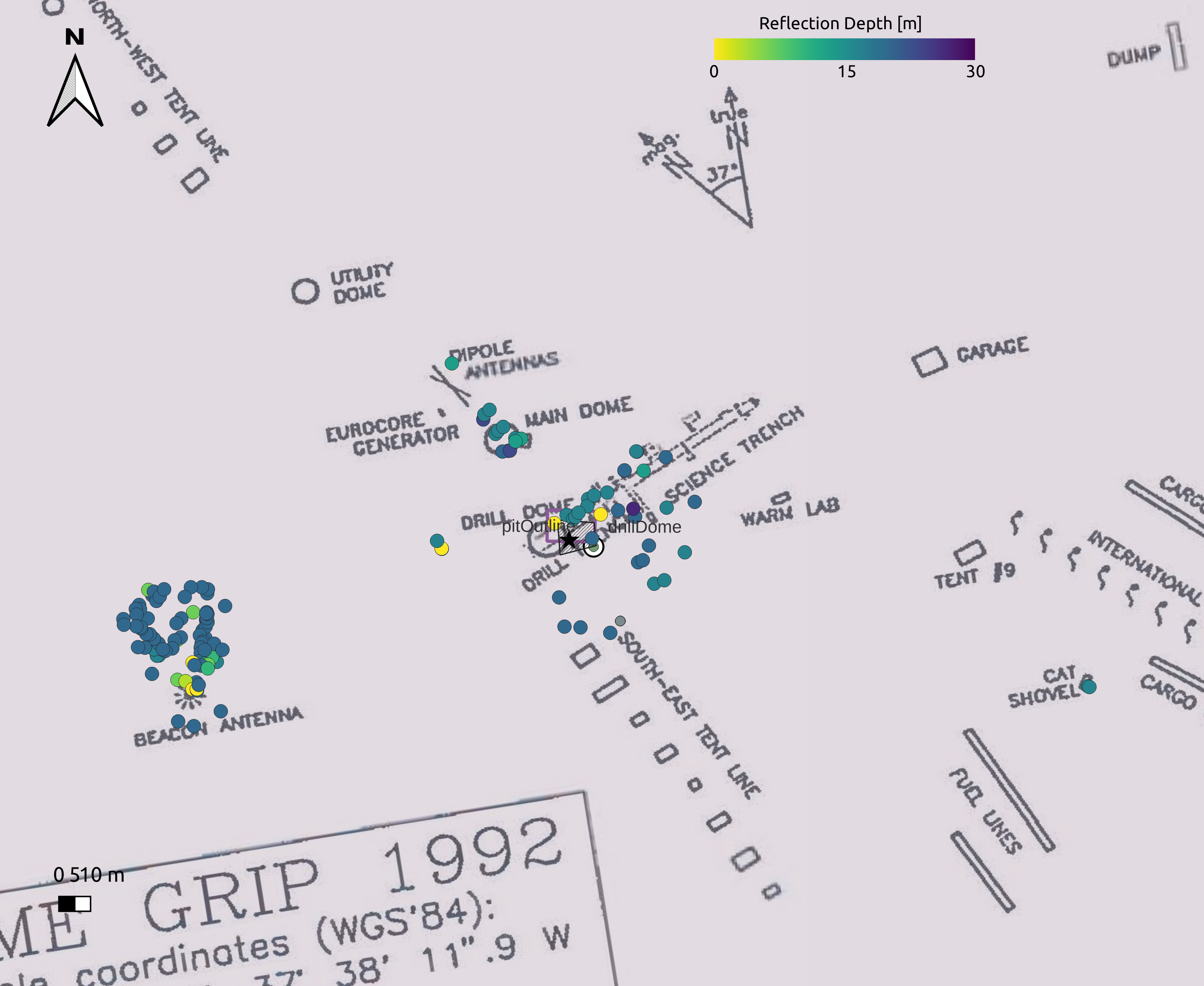
Map of GRIP area with the structures from 1992 (gray lines), our radar measurements (colored dots). The black hatched area shows are the snow pit. The star is the calculated borehole location today from Hvidberg et al. 1997 paper. The 1992 map is rotated 2.3 degrees to match the reflections detected by the GPR radar.
Today we have decided to stay at Summit Station and process all our newly collected GPR and GPS data. We picked the location and depth of reflections and plotted them on a map: they agree with the overall position of the drill trench, main dome, beacon antenna and cat shovel if the 1992 map is rotated by 2.3 degrees towards West. The top of the casing expected in a depth of 2 m must be just 1-2 m off our snowpit to the NW. Unfortunately, we are running out of time and a strom coming in a few days makes it difficult to continue. We are flying to Kangerlussuaq tomorrow and hope to have a team come in later this summer to dig the casing top free and lower a camera down the casing to check it is intact.
We want to thank Summit for hosting us and everyone on station for their support and making our stay here so pleasant. We hope to be back later this season to finish the job.
What we did today:
- Station morning meeting at 7.30am.
- Processed our GPR radar data and GPS data.
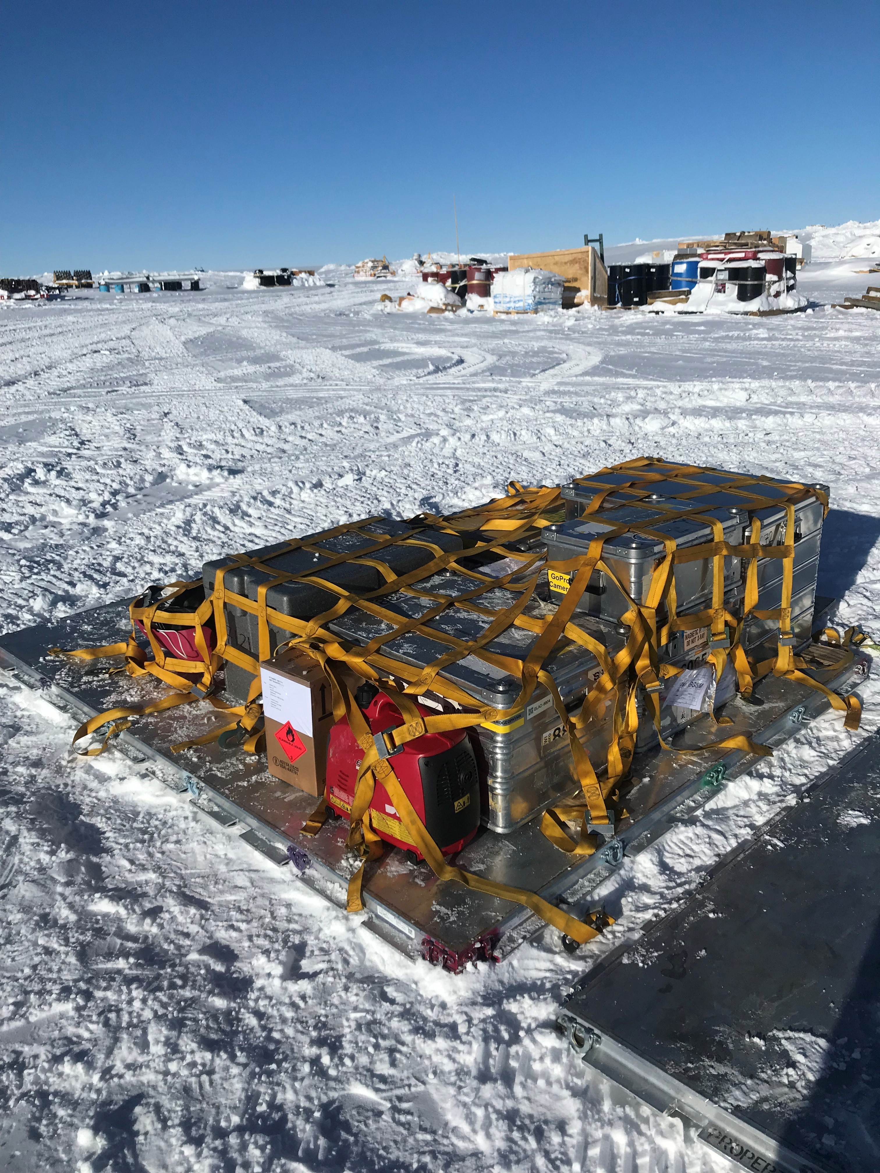
- Bulit our retro-cargo pallet.
Weather today: Nice and sunny day. Wind 3-13 kt turning from WSW to S. Temperatures between -42°C and -26°C.
The GRIP team: Daniel Steinhage, Tamara Gerber, Iben Koldtoft

Our retro AF-pallet with our cargo on.

